Create project
/app/projects/create
Creates a new project, either empty or with layers imported from a CSV file or a LAS well log. The depth grid chosen here applies to every layer in the project and cannot be changed later. What comes out is a project, with its layers already in place if you imported them, ready for Manage Layers to complete their properties.
Basic information
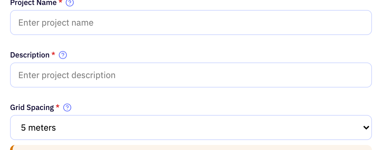
| Field | Purpose | Range | Default |
|---|---|---|---|
| Project Name required | The name the project is listed under. Choose something that identifies the well or prospect at a glance. | 2 to 50 characters letters, digits, spaces, hyphens and underscores | — |
| Description required | A short note on the project's purpose and scope. It is shown alongside the name and has no effect on any calculation. | 2 to 50 characters | — |
| Grid Spacing required | Vertical spacing of the depth grid the project's layers are built on. A finer spacing resolves thinner layers at the cost of more layers to compute. | 1 to 10 m | 5 m |
Limits are the API's unless marked app. The app may offer a narrower range.
Import type

| Field | Purpose | Range | Default |
|---|---|---|---|
| Select Import Type required | Whether the project's layers come from a CSV table or from a LAS well log. The choice decides which upload appears below. | — | — |
Limits are the API's unless marked app. The app may offer a narrower range.
CSV import
Shown when the import type is CSV.
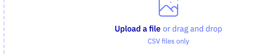
| Field | Purpose | Range | Default |
|---|---|---|---|
| Upload a file | A CSV table with one row per layer giving its top depth, P-wave velocity, S-wave velocity and density, and optionally a formation name. Each row becomes one layer of the new project. | — | — |
Limits are the API's unless marked app. The app may offer a narrower range.
LAS import
Shown when the import type is LAS.
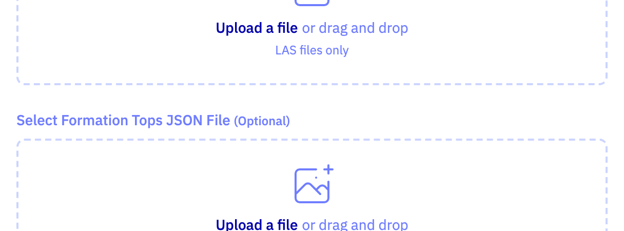
| Field | Purpose | Range | Default |
|---|---|---|---|
| Upload a file | The LAS well-log file whose curves are turned into layers. It should contain depth plus the sonic or velocity and density curves you want to use. | — | — |
| Upload a file | An optional companion file that overrides curve units or other metadata missing from the LAS header. Leave it out when the LAS file is complete. | — | — |
Limits are the API's unless marked app. The app may offer a narrower range.