Reservoir Model
/app/resqml
Upload a RESQML or RESCUE reservoir model and inspect its surfaces, wells, grids and properties in 3D. The processed model is kept with the project and viewed on this screen, so its geometry can be checked against the layered earth model that the other screens work from.
Upload
Pick the model format, then the files that make up one model.
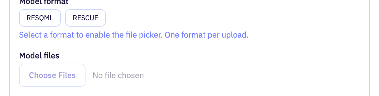
| Field | Purpose | Range | Default |
|---|---|---|---|
| Model format | Which format the model files are in. RESQML uses one or more archive files with their matching data siblings; RESCUE uses a master file plus all its numbered part files. | — | — |
| Model files | The files that make up the model. The set must be complete for its format before it can be submitted. | — | — |
Limits are the API's unless marked app. The app may offer a narrower range.
Viewer
Choose what the 3D view draws and how it is scaled.
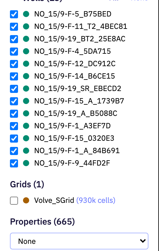
| Field | Purpose | Range | Default |
|---|---|---|---|
| show-surface | Shows or hides one surface of the model. | — | — |
| show-well | Shows or hides one well trajectory. | — | — |
| show-grid | Shows or hides one grid of the model. | — | — |
| Volve_SGrid (930k cells) | Which grid property colours the grid cells. Choose none to draw the grid without a property. | — | — |
| Show axes | Shows or hides the coordinate axes around the model. | — | true |
| Vertical exaggeration | Stretches or squashes the vertical axis of the view. Higher values make gentle relief easier to see. | 1 to 10app | 1 |
Limits are the API's unless marked app. The app may offer a narrower range.